APPLICATION OF SURFACE RUNOFF ESTIMATION USING NRCS-SCS CURVE NUMBER METHOD USING REMOTE SENSING AND GIS: A CASE STUDY OF TAVARJA LAKE CATCHMENT OF MAHARASHTRA
Abstract
Surface runoff estimation of ungauged watershed is one of the major problem, so estimation of surface runoff using Natural Resource Conservation Service is one of the most widely used method. The hydrologic soil groups, land use land cover and slope maps were generated with GIS tools. The curve number values from NRCS- SCS CN standard tables were assigned to the intersected hydrologic soil groups and land use maps to generate CN values map. The curve number method was followed to estimate runoff depth for selected storm events in the watershed. Weighted CN value and the storage retention (S) for the entire basin of Tavarja lake catchment
Downloads
Published
2022-01-01
Issue
Section
Articles
How to Cite
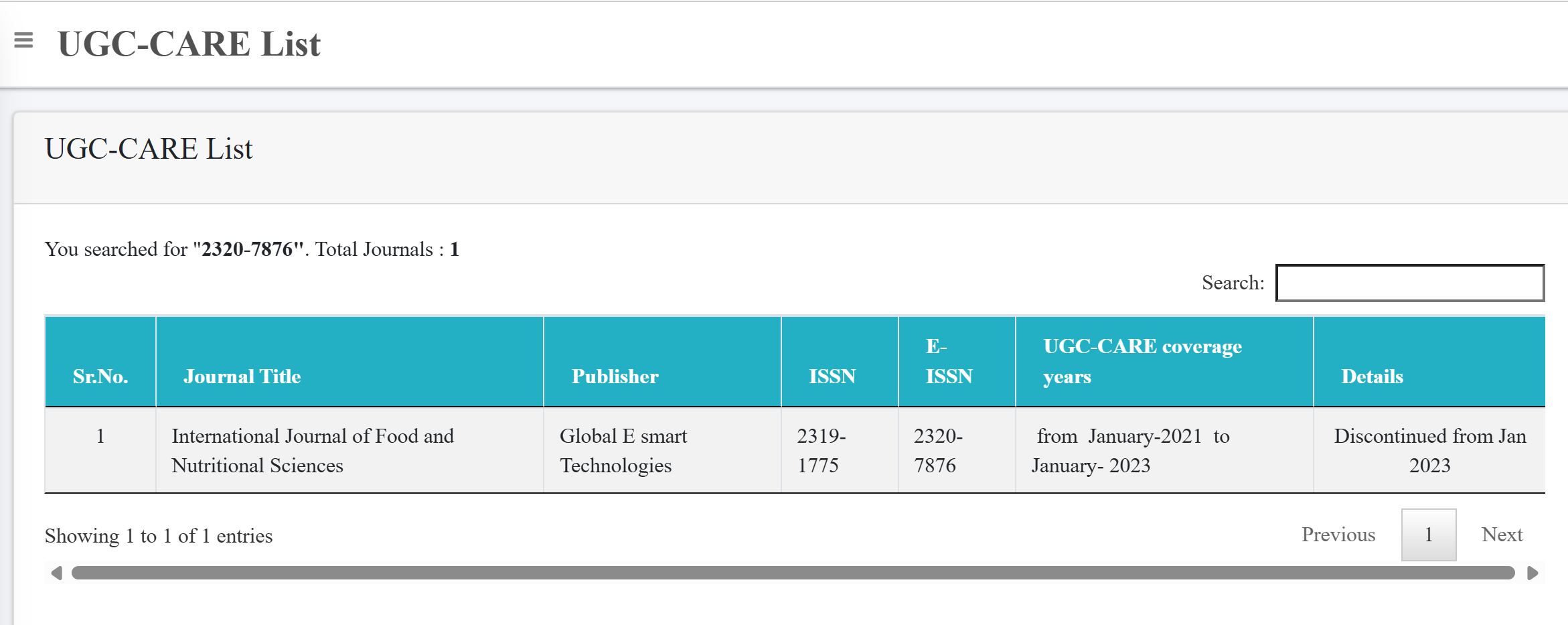
APPLICATION OF SURFACE RUNOFF ESTIMATION USING NRCS-SCS CURVE NUMBER METHOD USING REMOTE SENSING AND GIS: A CASE STUDY OF TAVARJA LAKE CATCHMENT OF MAHARASHTRA. (2022). International Journal of Food and Nutritional Sciences, 11(11), 833-845. http://www.ijfans.org/index.php/Journal/article/view/11681